Disrupting the way you do earth observation
Backed by SkyMap Global, a leading geospatial analytics company, we help you obtain actionable insights from a whole spectrum of earth observation data using artificial intelligence and machine learning.
Suitable for a wide range of markets:
Agriculture - Infrastructure - Urban - Forestry - Defense - Intelligence - Mining - Oil & Gas - Environment - Telecommunications
EOF Advantage
A diverse range of data to connect with, including satellite, aerial and drone imagery. All are connected using private and secure API keys. Run analytics models from any data of your choice!
Build models through Interactive AI tools, which harness the power of machine learning to help you create the best earth observation machine learning models.
Get automatic image processing, normalization, and correction on your EO data to not spend time worrying about processing but getting the best quality results through AI/ML.
Object Detection: identify and extract features, such as buildings, roads, and trees in areas of interest.
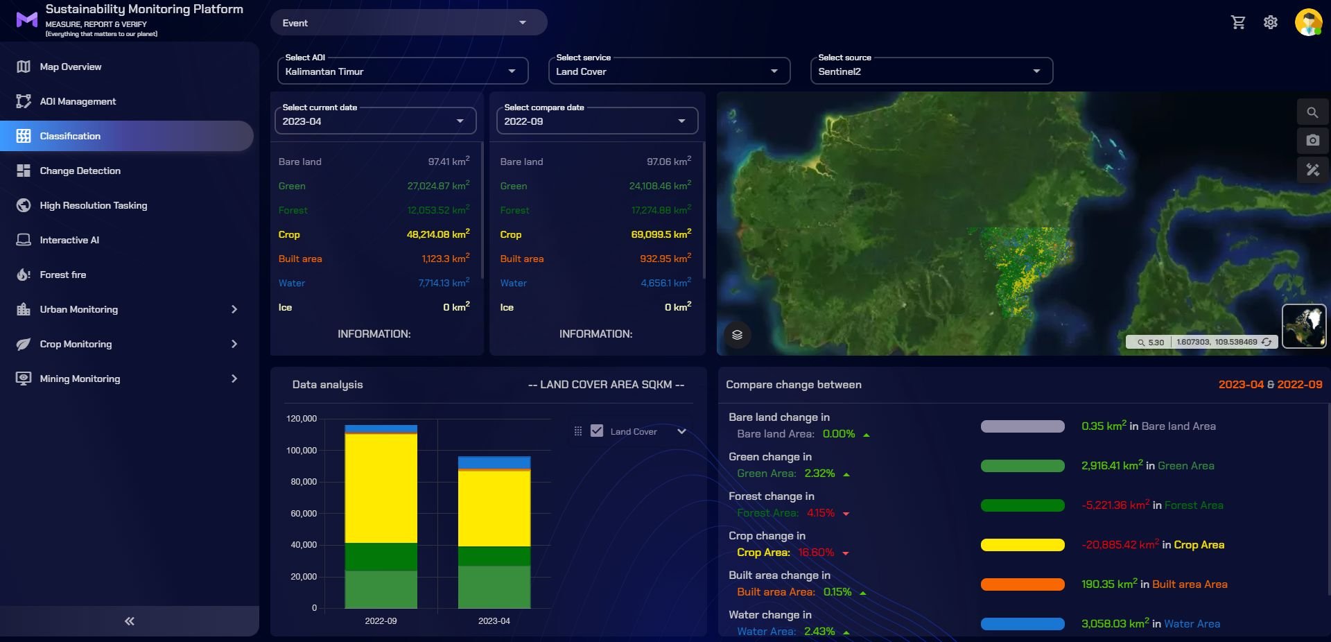
Classification: classify objects into sections like crops, forest, buildings, etc.
Change Detection: understand changes taking place automatically by harnessing machine learning and AI
Interested in backing your decisions with actionable location intelligence from earth observation data?
If yes, reach out to us!


